
Who this is for
- Drone operations and aviation managers
- Field and asset-inspection teams
- Vehicle and depot operations leaders
- Privacy, risk and governance leads
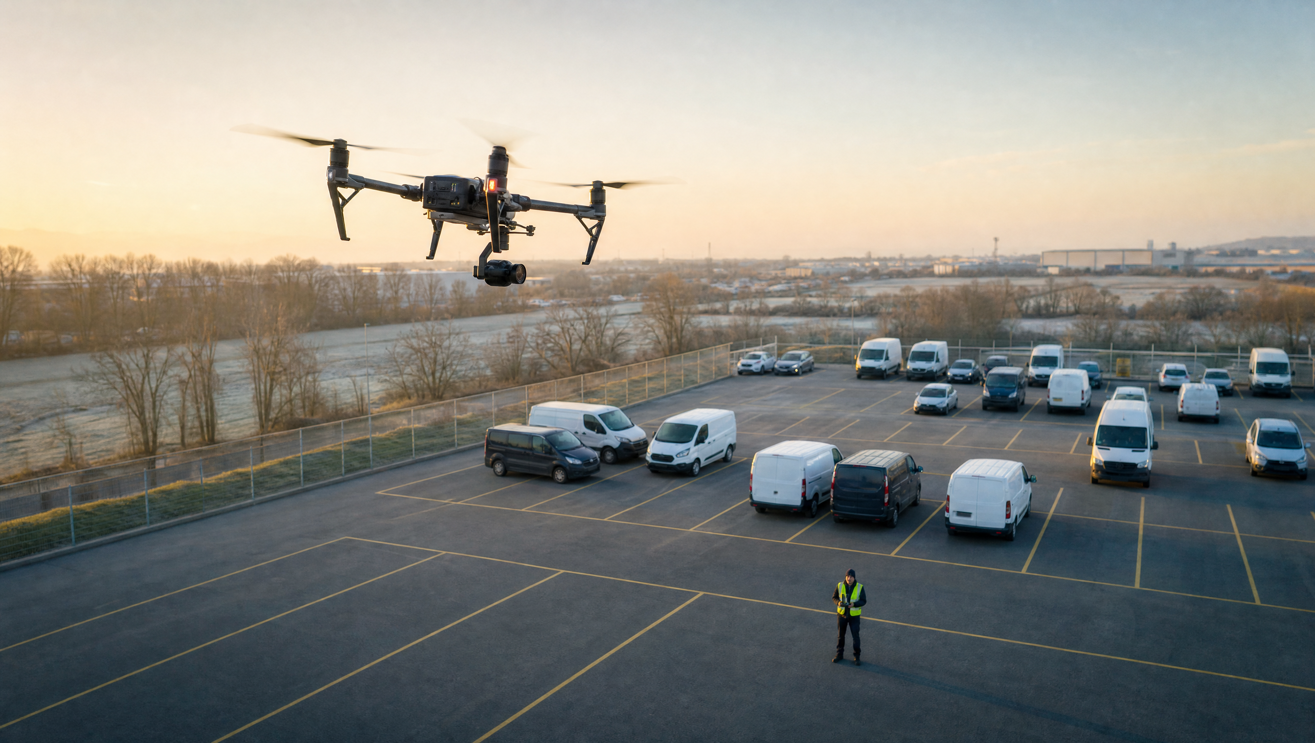
Teams using approved aerial operations can connect vehicle observations, inspection evidence and follow-up review to a clear operational record.
Bring approved aerial observations into a reviewable workflow with source, time and area context.
Keep review decisions, supporting evidence and follow-up actions connected to the operational record.
Operations, parking, commercial, security and customer-facing teams can work from the same vehicle record instead of separate spreadsheets and point systems.
A vehicle read or inspection observation is more useful when its capture source, operating area and time are retained for review.
Aerial capture needs an approved operating plan, while the resulting observation still needs the right review, privacy and evidence controls.
Potential vehicle, location or asset exceptions need an accountable review path rather than an isolated video or image file.
These are mapped from Aero Ranger's product knowledge: devices and Cloudstream, parking rules, permits, Cases, evidence review, document templates, integrations, audit logs and reporting.
Record approved aerial observations with capture-source, timestamp and operating-area context.
Source records, zones, timestamps, review queues and audit history.Route relevant observations to a person-led review with the supporting evidence and operational context attached.
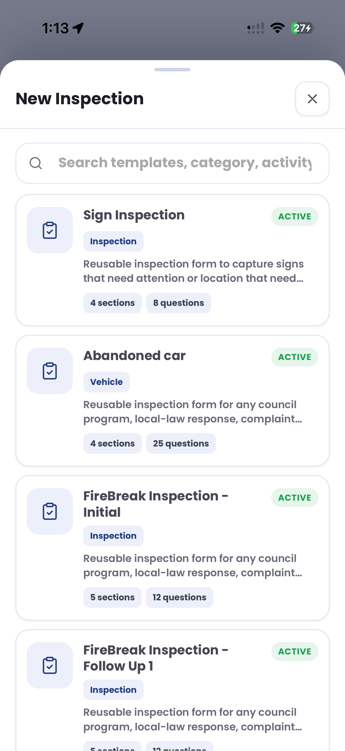
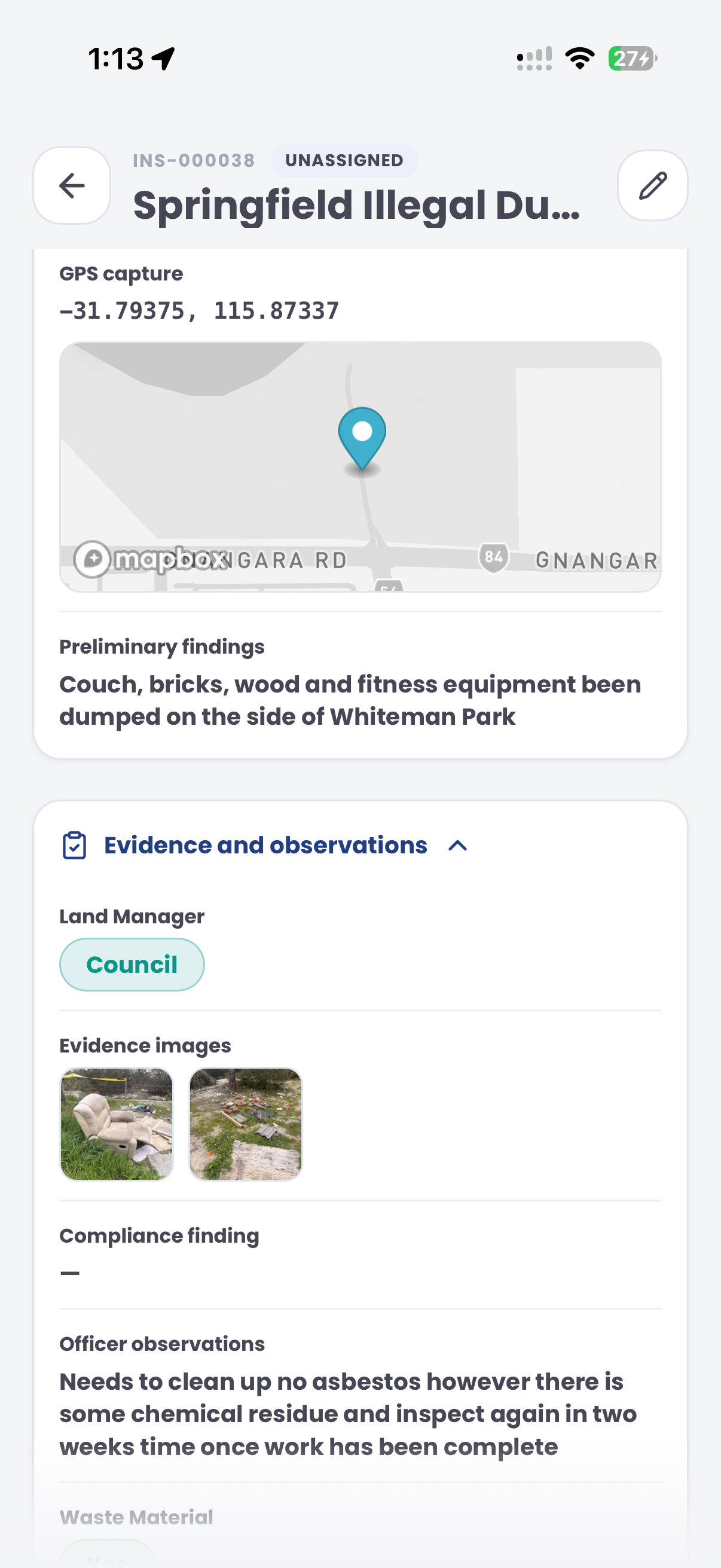
Vehicle search, cases, evidence, tasks and decision history.Use templates and attachments to record inspection findings, notes, photos and follow-up work.
Inspections, evidence attachments, outcomes and assigned tasks.Configure approved sources, operating areas, access and retention settings around the organisation’s operating model.
Roles, audit logs, zones, device records and review controls.Drone operations can link approved aerial observations to operating areas, evidence review, governed vehicle workflows and reporting without treating a capture as a decision.
CORE feature areas
Review authorised observations, zones, patterns and operational reporting.
CORE featureKeep evidence, review, ownership, tasks and outcomes in a single record.
CORE featureSet the relevant operating areas, schedules, vehicle context and rule checks.
CORE featurePlan approved observation activity and connect findings to a reviewable workflow.
Relevant challenge workflows
Use approved aerial observations to support eligible vehicle-yard reconciliation.
Challenge workflowReview vehicle observations and linked operational context across defined locations.
Challenge workflowReview fleet coverage, vehicle movement and field activity across operating areas.
Challenge workflowProvide authorised vehicle and location context for a roadside-assistance review.
Challenge workflowAnalyse observed occupancy, dwell and operating-area pressure over time.
Challenge workflowMove approved observations into an evidence-led review and outcome workflow.
Use dashboards, zone analysis, device health and case queues to move from vehicle activity to a well-documented review decision.
Drone Operations do not just need more cameras. They need a reliable operating loop for rules, evidence, review and reporting.
Use these field guides to configure zones, permits, alerts, devices, cases, tickets and review workflows.
The page is shaped around operational research, policy context and practical field workflows.
The UK Civil Aviation Authority sets operational-authorisation requirements for drone operations that fall within the Specific Category.
UK Civil Aviation AuthorityICO guidance notes that vehicle registration marks can be personal data in context and highlights purpose limitation, transparency, data protection impact assessment and retention controls for ANPR.
UK Information Commissioner’s OfficeBook a working session to map aerial observations, operating-area context, evidence review and exception follow-up.