Bring parking, permits, inspections, evidence and reporting into one practical council workflow.
Fragmented checks
Vehicle status, location context and officer observations are often checked in separate tools.
Aero Ranger helps councils detect vehicles on public land that may be unregistered, connect plate reads to evidence, open cases and manage inspection, notice and follow-up actions in one workflow.
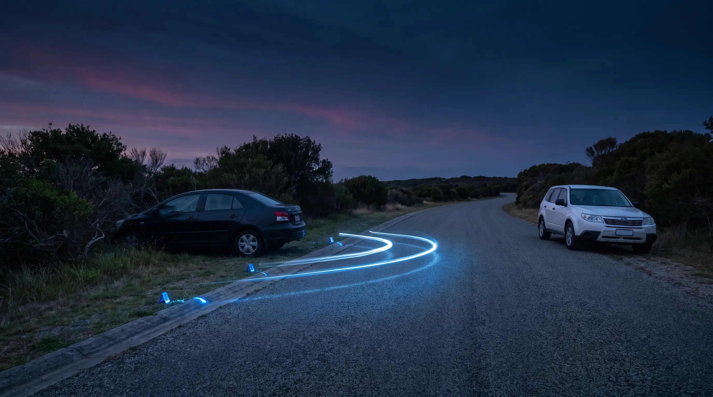
Unregistered vehicles can sit across roadsides, verges, reserves, foreshore car parks and public land. Teams need a consistent way to confirm context, inspect the vehicle and record the follow-up decision.
Vehicle status, location context and officer observations are often checked in separate tools.
The same vehicle can raise different questions on a road, verge, reserve or council car park.
Teams need a repeatable way to record whether the vehicle moved, was contacted, was warned or needs escalation.
Registration and removal decisions need clear evidence, timing and a record of who did what.
The useful question is not which feature exists. It is whether the team can see the place, rule, evidence, exception, next action and review history before making a decision.
Use patrol reads to build a reviewable history of where the vehicle was seen and when.
ANPR reads, vehicle records, timestamps and zone context.Model reserves, foreshore areas, verges and car parks so sightings are measured against the right place.
Zones, tags, profiles, map view and exports.Open a case for inspection, owner contact, warning, notice, escalation or closure.
Case flows, inspections, statuses, tasks and audit trail.Attach photos, GPS context, officer notes and vehicle details to the matter before action is taken.
Cases, inspections, evidence records and document builder.Render letters, notices and evidence packs from the data already held in the case.
Document builder, local laws and enforcement templates.Track repeat locations, ageing matters, vehicle types and officer workload.
Intel reports, exports and vehicle replay.A review-ready decision needs the plate, location, registration context, public-land rule, inspection evidence and decision history in one place.

Record the plate, make, model, colour, sightings and review status against the same vehicle.
Use zones and map records to show whether the vehicle was on road reserve, public land or a council-managed area.
Hold inspections, photos, notes, notices, tasks and audit history in the same case.
A public-land vehicle case keeps the plate, status check, inspection notes, notice period and final outcome together.
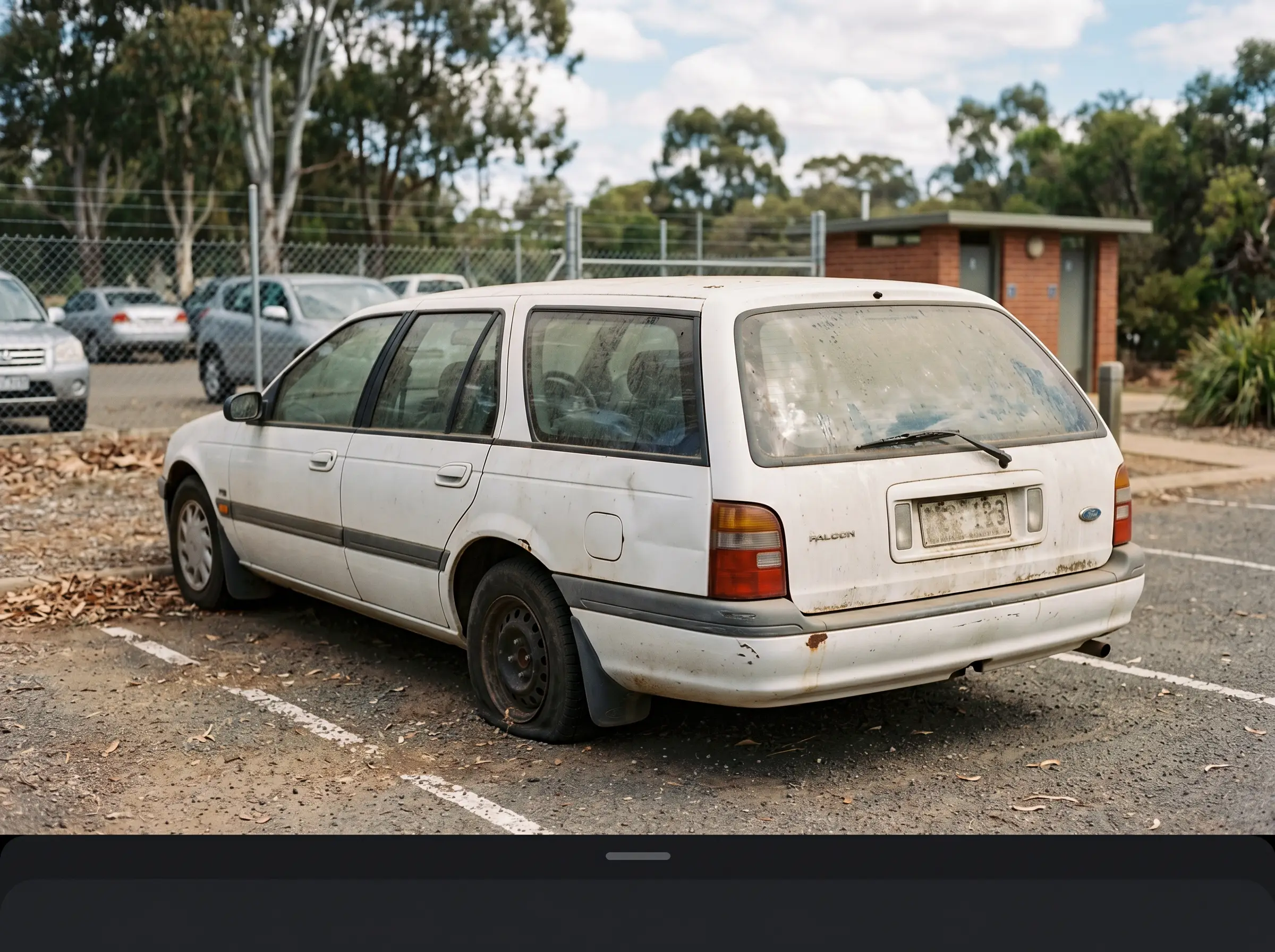 Vehicle observed on public land
15:20 · Public car park
Vehicle observed on public land
15:20 · Public car park
Vehicle licence or registration status review
Aero Ranger keeps the issue photos, place context, rule context and follow-up state together so the case can be checked later without rebuilding the record.
The issue photo stays on UR-44028 with the case note and current case status.
Site, street, reserve, bay, kerbside or zone context stays attached so reviewers can see where the issue occurred.
The relevant signage, permit condition, local-law category or operating rule is recorded beside the issue evidence.
Later photos, reinspection notes, notice evidence and closure decisions remain in the same case trail.
Unregistered vehicle work sits between parking, local laws and public-land management. Council needs to confirm the vehicle status, the place, the risk and the correct owner or removal pathway.
Record whether the vehicle is on a road, verge, reserve, car park or other council-managed land, and whether it creates a safety or amenity issue.
Attach the available status check, vehicle photos, inspection notes, owner contact attempts and any police or partner-agency referral context.
Track notice periods, reinspection dates, movement evidence, escalation decisions and final closure or removal outcome.
Rego, make, model, colour, vehicle type, registration status context and whether the vehicle appears roadworthy or hazardous.
Street, reserve, car park, verge, council asset, GPS pin, ward and local rule category.
Photos, ANPR reads, inspection notes, timestamps, notice photos and relevant status checks.
Notice expiry, reinspection due date, owner response period, escalation timing and closure reason.
Inspect, contact owner, issue notice, refer, monitor movement, escalate, close and report hotspots.
Teams can start with known hotspots, tune review rules and then extend the same process across streets, reserves and public car parks.
Define reserves, car parks, verges and high-risk locations where vehicle checks apply.
Use mobile or fixed ANPR and officer observations to create timestamped vehicle evidence.
Check vehicle context, known permits, exemptions or operational reasons before escalation.
Assign inspections, record contact attempts, generate notices and track outcomes.
Use vehicle replay and Intel to brief managers on repeat areas and unresolved workload.
Once zones, vehicle sightings, evidence and case flows are configured, related compliance categories can use the same platform pattern.
Use the same vehicle review pattern when registration context has expired.
Extend review into longer dwell, recheck, notice and removal workflows.
Use repeat sightings and notices for long-term vehicles on streets or reserves.
Carry inspections, notices, tasks and audit history through one workflow.
Use these CORE guides when setting up the zones, cases, permits, evidence templates, notices and reports that support this operating model.
Configure zone boundaries, paid parking scope, schedules, active profiles and map context.
Open guide ->Configure rule-based alerts, authorised vehicle lists, dwell thresholds and reports review pathways.
Open guide ->Manage evidence, statuses, owners, tasks, notes, documents and audit history.
Open guide ->Build repeatable workflows for inspection, review, enforcement, escalation and closure.
Open guide ->Render notices, evidence packs and management documents from case data.
Open guide ->Review vehicle movement, route coverage, repeated sightings and location history.
Open guide ->Share the short brochure with stakeholders, then use the procurement guide to frame requirements, governance, rollout and evaluation.
A client-ready summary of the operating problem, the workflow, and how Aero Ranger helps council teams manage it.
Open brochure - PDFA practical buying guide for requirements, evidence, local-law setup, integrations, governance and pilot planning.
Open guide - PDFBring a real street, reserve or public-land scenario and we will walk through detection, evidence, inspection, notice and reporting.

