Bring parking, permits, inspections, evidence and reporting into one practical council workflow.
The field record needs exact context
Mapped extent, field signs, samples and landholder context need to remain linked to the authorised visit.
Aero Ranger supports authorised state and regional biosecurity property inspections with mapped observations, photos, samples, documents and follow-up history.
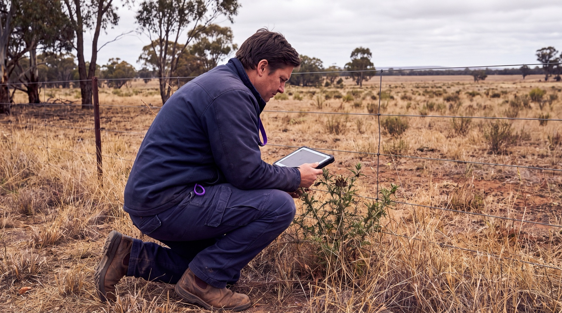
State, regional and local officers work under different legislation, delegations and programs. A structured field record can support the authorised activity without implying powers or decisions the user does not hold.
Mapped extent, field signs, samples and landholder context need to remain linked to the authorised visit.
Photos, notes, measurements, samples and supporting documents can become difficult to review when they are stored separately.
The record should show the authorised role, review stage, assigned action and outcome without implying a decision outside that role.
The field app / iPhone and Android
Bring parking patrols, inspections, photos, GPS, tasks and cases into a connected mobile workflow. Capture the field record in PatrolLink and carry it into CORE for review.
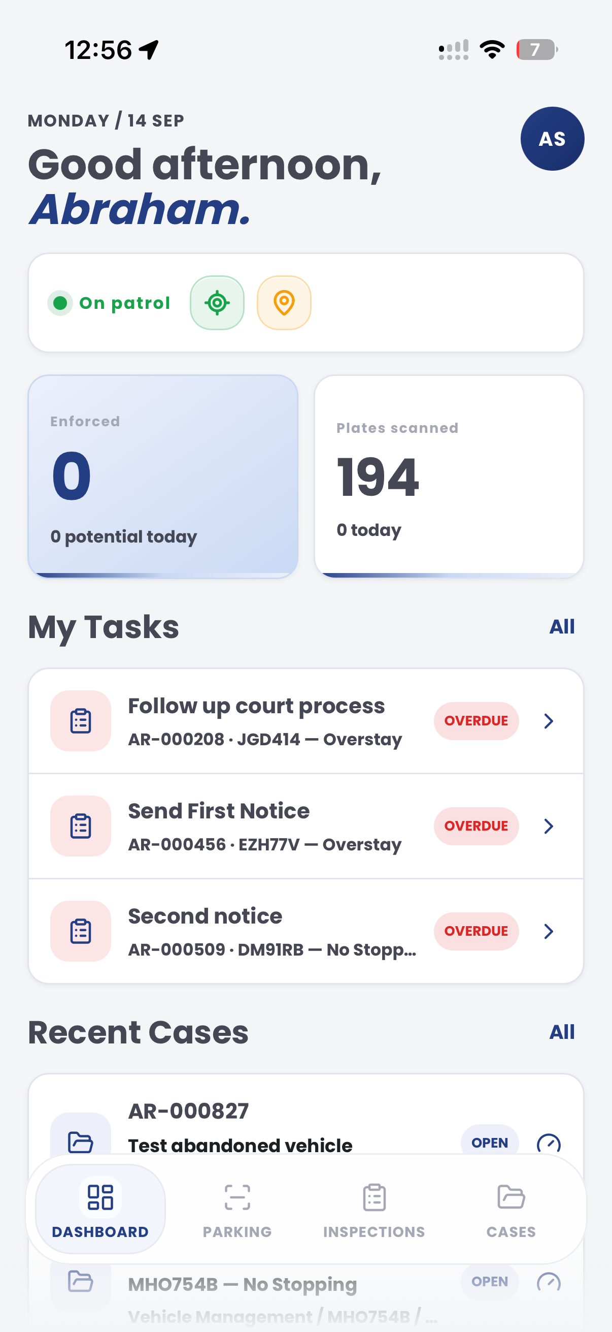
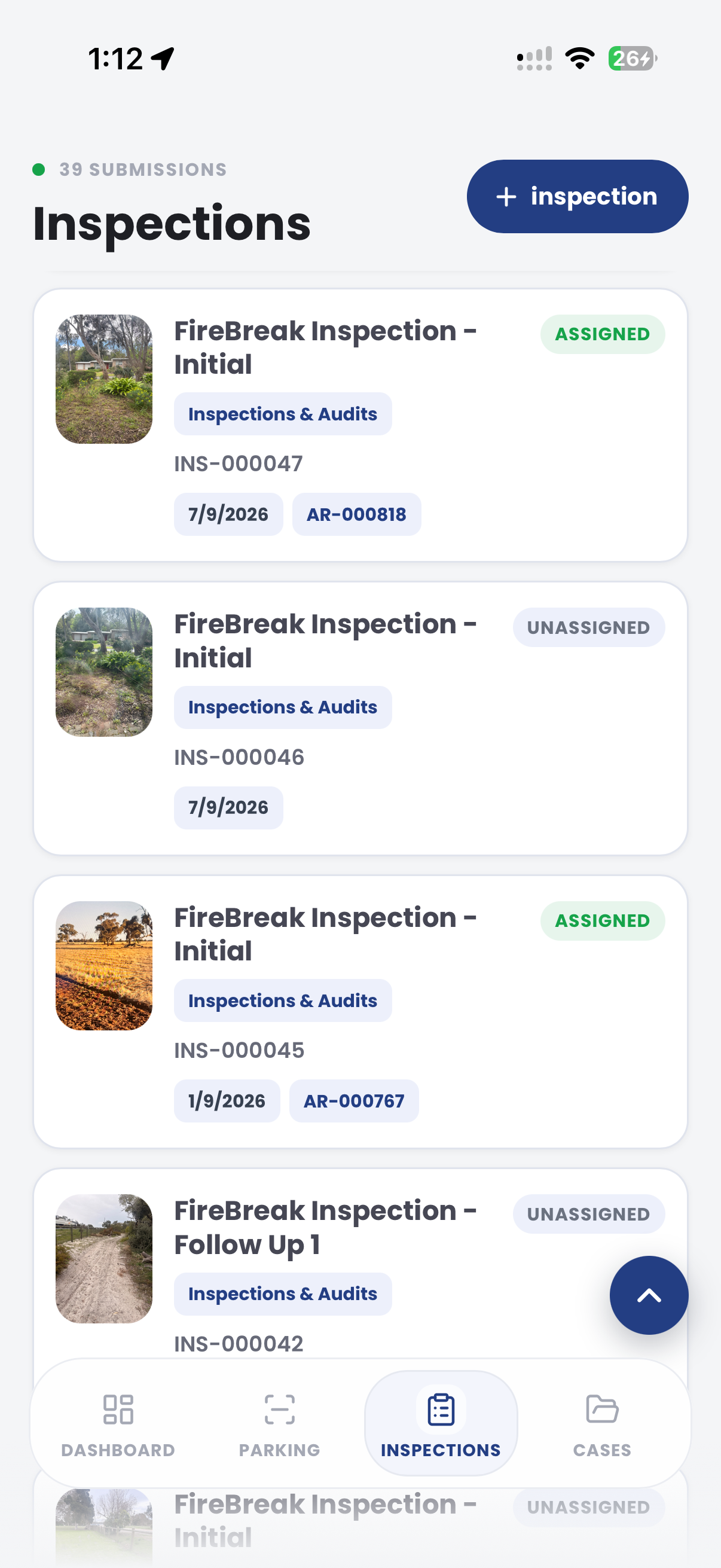
The useful question is not which feature exists. It is whether the team can see the place, rule, evidence, exception, next action and review history before making a decision.
Configure prompts for biosecurity surveillance, property assessment, pathway and field-evidence programs.
Template editor, question types, required responses and evidence prompts.Record observations, photos, notes, measurements and timestamps during the visit.
PatrolLink inspections, attachments, location context and audit history.Route the record through the organisation's approved assessment and follow-up process.
Cases, tasks, owners, priorities, due dates and statuses.Review inspection coverage, open actions and recorded outcomes by authorised users.
Dashboards, filters, maps, exports and review history.A structured record can keep approved prompts, photos, notes, measurements, documents and review history together without replacing the authorised officer's judgement.
Record authorised access, land-use context, property area and visit purpose.
Map the organism, sign, impact, pathway or condition observed in the field.
Attach samples, photographs, landholder communication and program-specific follow-up.
A contextual CORE view keeps the case, rule, evidence, workflow status and next action together.
Mapped biosecurity observations and supporting evidence recorded for review
Authorised property visit
Review the inspection context, evidence, authority and owner
Aero Ranger keeps the issue photos, place context, rule context and follow-up state together so the case can be checked later without rebuilding the record.
The issue photo stays on BIO-10001 with the case note and current case status.
Site, street, reserve, bay, kerbside or zone context stays attached so reviewers can see where the issue occurred.
The relevant signage, permit condition, local-law category or operating rule is recorded beside the issue evidence.
Later photos, reinspection notes, notice evidence and closure decisions remain in the same case trail.
In CORE, a biosecurity property inspection can connect the visit, authorised template, field evidence, review tasks and recorded outcome.
Authorised property or area, land use, pathway, program, visit purpose and officer role.
Prompt responses, observations, photos, notes, measurements, documents and timestamps.
Authorised reviewer, assigned action, due date, status, reinspection and recorded outcome.
Templates and review stages can be aligned to the organisation's program, authority and local requirements.
Select the place, subject and approved inspection template.
Record the approved property, pathway, organism, impact, sample and surveillance observations.
Attach relevant observations, photos, notes, measurements or documents.
Apply the organisation's authorised assessment process and jurisdictional requirements.
Assign the appropriate task, reinspection, referral or recorded outcome.
Once capture, evidence and case flows are working, related compliance categories can use the same platform pattern.
Use targeted prompts for priority organisms and mapped extent.
Connect animal, movement and property records to specialist review.
Keep waste observations in a separate environmental investigation workflow.
Use these CORE guides when setting up the zones, cases, permits, evidence templates, notices and reports that support this operating model.
Bring an approved checklist and review process to map the prompts, evidence, ownership and reporting required by the program.
Technology procurement guide
Use your organisation or government email address. Your guide will be ready to open as soon as the form is submitted.

