Bring parking, permits, inspections, evidence and reporting into one practical council workflow.
Restricted-zone camping
Vehicles can camp in restricted or prohibited locations across large coastal, lakeside and reserve networks.
Aero Ranger helps New Zealand councils monitor restricted areas, detect overstays, verify vehicle context, create evidence-ready cases and manage freedom camping notices across coastlines, lakesides and reserves.
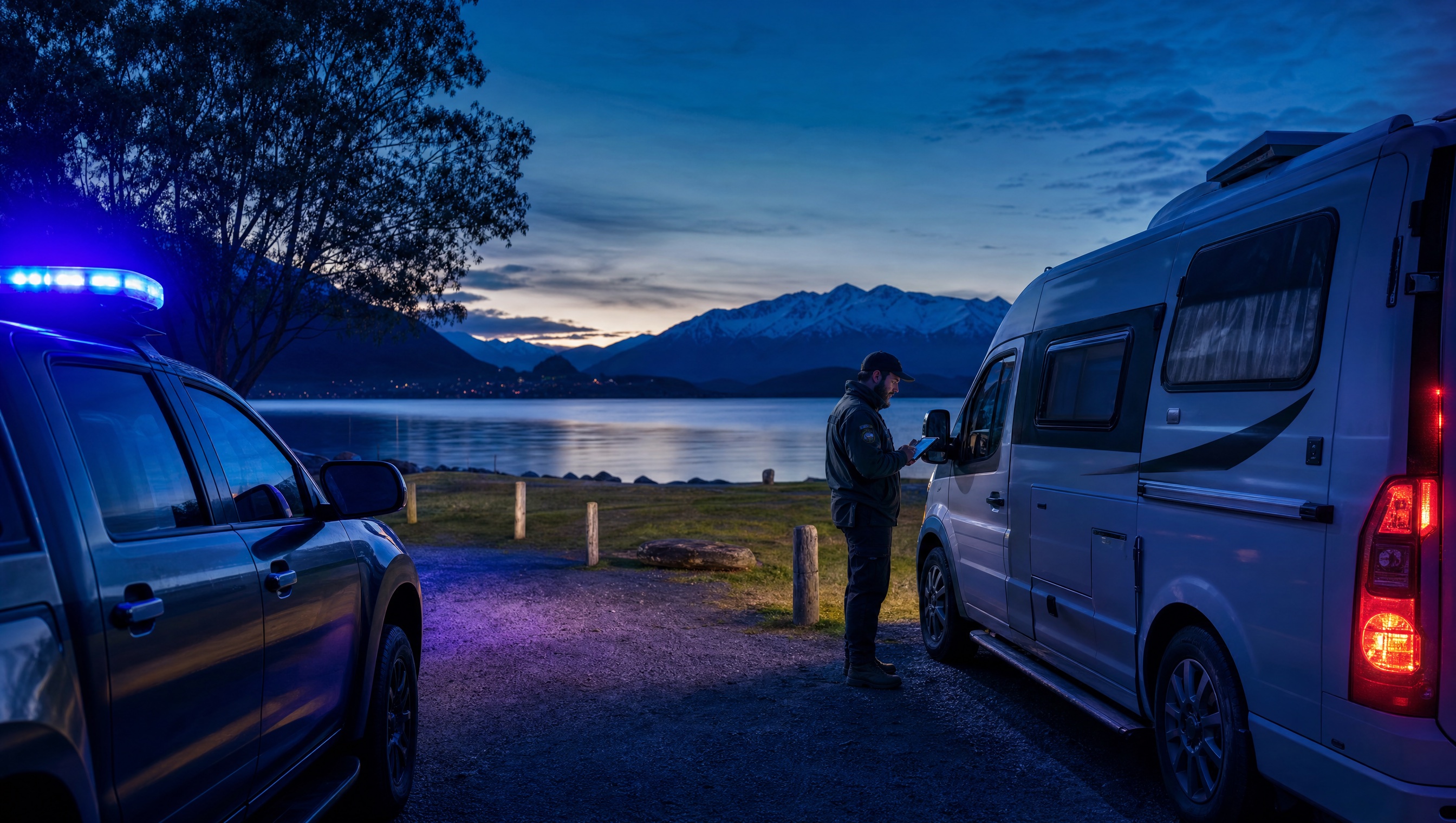
New Zealand councils manage long coastlines, lakesides, river margins and reserves with finite ranger resources. The workflow needs to detect potential breaches early and document them clearly.
Vehicles can camp in restricted or prohibited locations across large coastal, lakeside and reserve networks.
Notices can fail when duration, location, vehicle context, photos and inspection outcomes are not held together.
Manual checks have limited reach across remote reserves and seasonal pressure points.
Visitor surges can overwhelm ranger capacity exactly when evidence and response speed matter most.
The useful question is not which feature exists. It is whether the team can see the place, rule, evidence, exception, next action and review history before making a decision.
Flag vehicles present in council-defined restricted freedom camping zones for review.
Zones, plate scans, ANPR patrol records and alert categories.Build a history of vehicles that overstay, return repeatedly or remain through overnight thresholds.
Dwell alerts, look-back windows, vehicle replay and dashboards.Cross-reference plates against self-containment registers, exemptions, permits or council records where available.
Permits, integrations, account records and case enrichment.Carry each matter through initial inspection, self-containment check, move-on action, infringement, monitoring and closure.
Case flows, inspections, task templates and status automation.Assemble timestamped records, GPS coordinates, photos, audit trail and privacy-safe exports for review or notices.
Evidence packages, document builder, redaction and audit history.See authorised vehicle lists, movement patterns, hotspot mapping, seasonal trends and agency coordination needs.
Intel dashboards, zone analysis, exports and reports.Freedom camping compliance needs location, duration, vehicle context, zone rules and inspection outcomes tied together before a notice is issued.
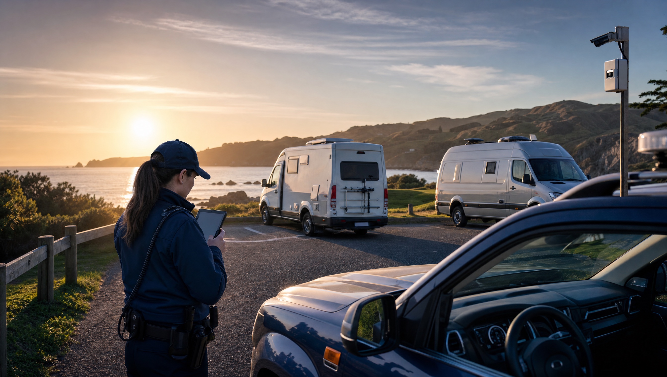
Map restricted, prohibited and permitted areas so each plate sighting is measured against the correct bylaw boundary.
Use timestamped sightings, repeat visits and self-containment or permit records to understand the potential breach.
Keep inspection outcomes, evidence, audit history and rendered notices attached to the same case.
A freedom camping record keeps the restricted site, self-contained status, stay window and outcome review together.
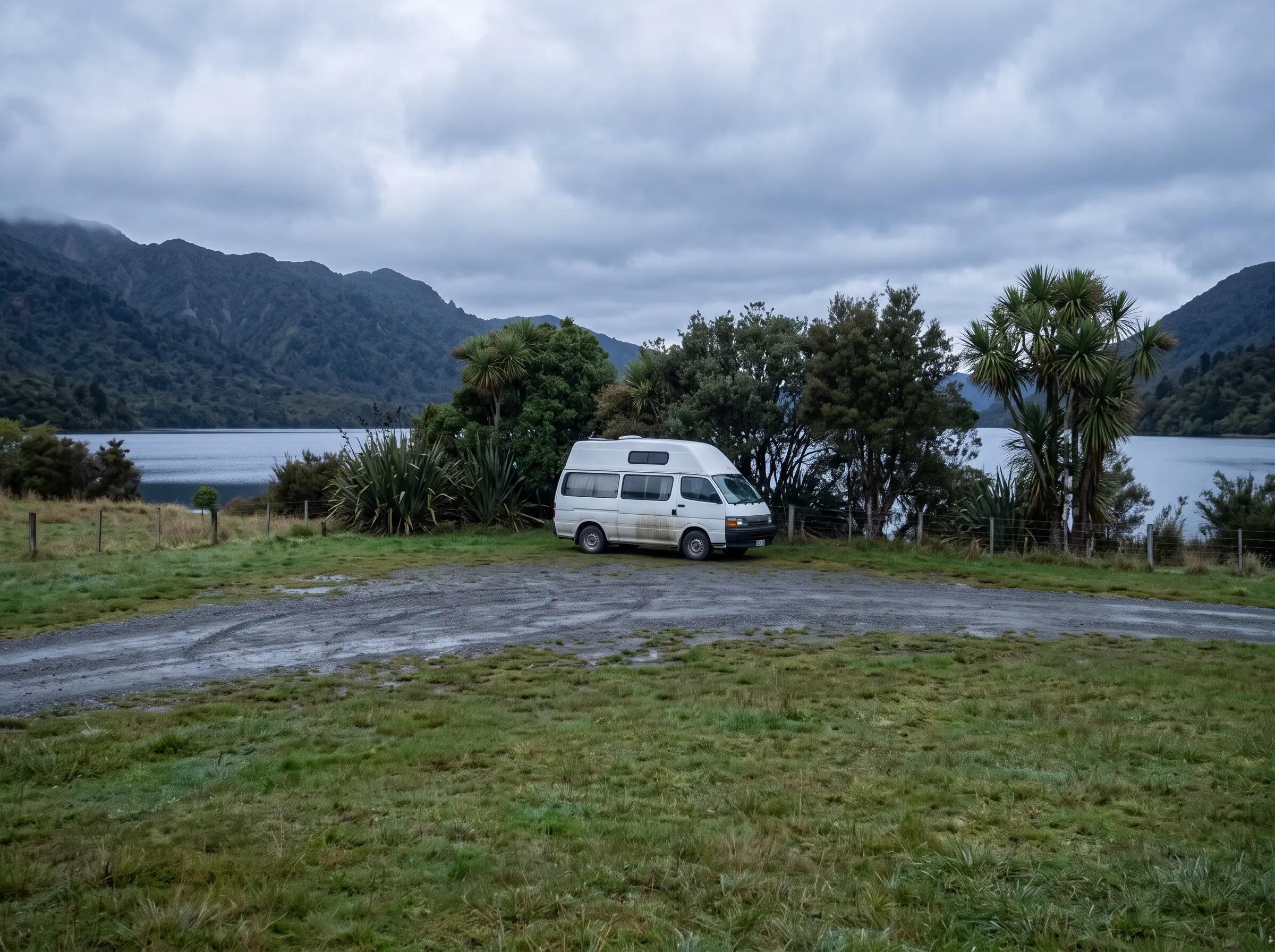 Vehicle recorded in restricted overnight area
06:18 · Lakeside reserve
Vehicle recorded in restricted overnight area
06:18 · Lakeside reserve
Camping in breach of a local authority prohibition or restriction
Aero Ranger keeps the issue photos, place context, rule context and follow-up state together so the case can be checked later without rebuilding the record.
The issue photo stays on FCNZ-30944 with the case note and current case status.
Site, street, reserve, bay, kerbside or zone context stays attached so reviewers can see where the issue occurred.
The relevant signage, permit condition, local-law category or operating rule is recorded beside the issue evidence.
Later photos, reinspection notes, notice evidence and closure decisions remain in the same case trail.
Freedom camping compliance depends on location rules, vehicle certification, stay limits and officer discretion. The workflow has to support both visitor education and formal infringement review.
Confirm prohibited, restricted and permitted areas, maximum stay settings, self-contained vehicle requirements, signage and seasonal patrol priorities.
Record the plate, location, time, repeat sightings, certification context, waste or damage concerns and any officer conversation with the occupant.
Use the same record for education, warning, infringement, recheck, appeal support and reporting on pressure by site or season.
Rego, vehicle type, self-contained status if available, first and repeat sightings, and any visible camping indicators.
GPS pin, reserve or lakeside zone, prohibited or restricted area, allowed-night settings and local signage notes.
ANPR reads, officer photos, notes, inspection outcomes, warning history and copies of notices or referrals.
Allowed stay window, repeat-stay period, reinspection due date, notice response deadline and seasonal review period.
Hotspots, repeat vehicles, pressure by site, officer workload, warnings issued, notices issued and closure outcomes.
Teams can define zones, tune dwell thresholds, verify vehicle context and run each potential breach through the same case pathway.
Create restricted, prohibited and permitted areas with vehicle-type and bylaw context.
Use patrol ANPR to record plates with timestamp, GPS location and route coverage.
Apply look-back windows and camping thresholds to flag overnight stays or repeat visits.
Run the case through self-containment checks, move-on action, warning, infringement or closure.
Use hotspot, trend and movement reporting to refine patrol routes and seasonal resourcing.
Once restricted zones, vehicle sightings, dwell logic and evidence are in place, related patrol workflows can use the same operating pattern.
Use the same dwell and evidence pattern for Australian public land camping workflows.
Extend long-dwell analysis to vehicles that appear not to move for days.
Cross-reference vehicle access against permits, exemptions and approved users.
Pair vehicle sightings with incidents and evidence near repeat dumping locations.
Use these CORE guides when setting up the zones, cases, permits, evidence templates, notices and reports that support this operating model.
Configure dwell alerts, authorised vehicle lists and in-vehicle delivery.
Open guide ->Build inspection, self-containment, notice and closure pathways.
Open guide ->Manage evidence, owners, statuses, tasks and audit history.
Open guide ->Manage permits, exemptions, accounts and vehicle context.
Open guide ->Render notices and evidence packs from case data.
Open guide ->Review repeat vehicle activity and movement patterns.
Open guide ->Share the short brochure with stakeholders, then use the procurement guide to frame requirements, governance, rollout and evaluation.
A client-ready summary of the operating problem, the workflow, and how Aero Ranger helps council teams manage it.
Open brochure - PDFA practical buying guide for requirements, evidence, local-law setup, integrations, governance and pilot planning.
Open guide - PDFBring a real freedom camping scenario and we will walk from first plate sighting to dwell alert, inspection, case decision, notice and reporting.

